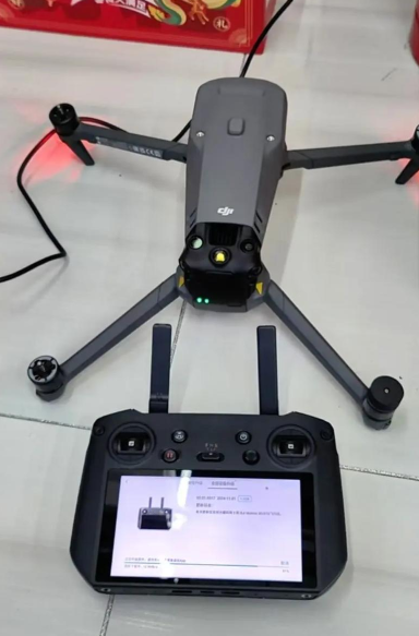
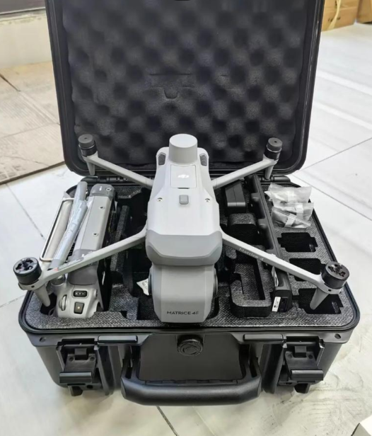


This drone-mounted scanner features a wide scanning swath width of 80m per flight line, allowing users to cover large areas quickly during drone operations. It is compatible with most professional heavy-lift survey drones, including the DJI M300 RTK and Autel Robotics Dragonfish Pro, ensuring seamless integration with existing drone fleets. The 5G wireless real-time data transmission function allows users to monitor scanning progress and adjust flight parameters in real time. Its IP54 protection rating makes it resistant to light rain and dust, making it suitable for use in outdoor aerial survey environments. The device supports automatic flight path planning, reducing the need for manual flight control and minimizing human error during survey operations.
The scanner delivers a scanning accuracy of ±5mm at a 10m working distance, with a scanning swath width of 80m per flight line. It has a total body weight of 2.2kg, and is powered by a 12-24V DC power supply integrated with the drone's battery system. It supports 5G wireless real-time data transmission, allowing users to view scanned point cloud data in real time during flight. The device has an IP54 protection rating, making it resistant to light rain and dust, and is compatible with major aerial mapping software such as Pix4Dmapper, DroneDeploy, and Agisoft Metashape. It has a working duration of up to 6 hours per charge, and supports automatic flight path planning to optimize survey efficiency.
This drone-mounted 3D mapping scanner is ideal for urban master planning and land survey, agricultural crop yield estimation and land resource mapping, disaster area assessment and emergency response mapping, forest resource inventory and ecological monitoring, and power line inspection and corridor mapping. Civil engineering teams can use it to collect large-scale site data for road and bridge construction projects, while agricultural survey companies can use it to map crop health and land usage. Emergency response agencies can use it to quickly create spatial maps of disaster areas to support rescue and relief operations, and power companies can use it to inspect power lines and transmission corridors for damage.


 Post RFQ


 Chat
Chat


 ALL CATEGORIES