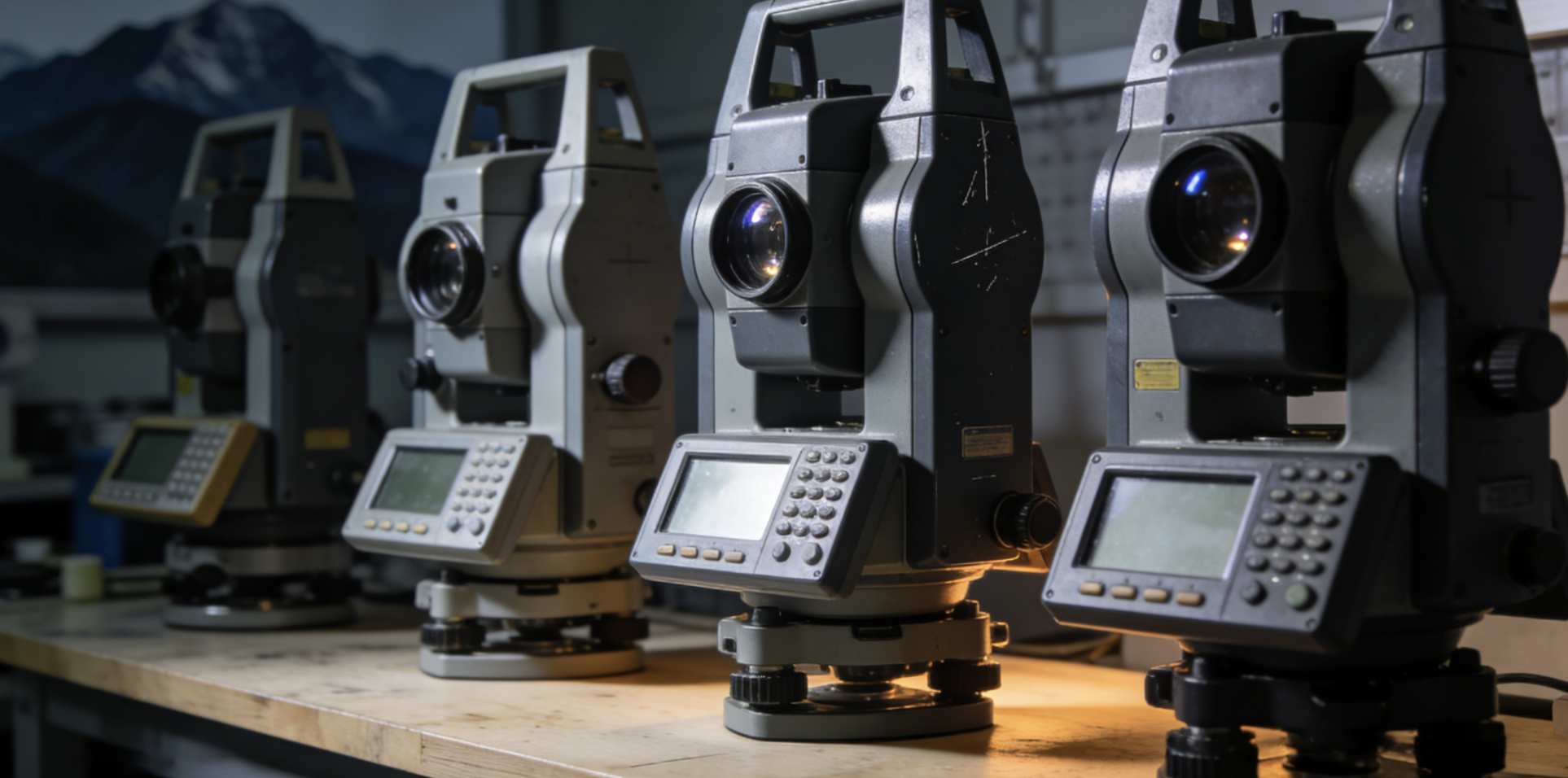
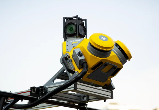
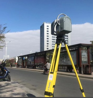
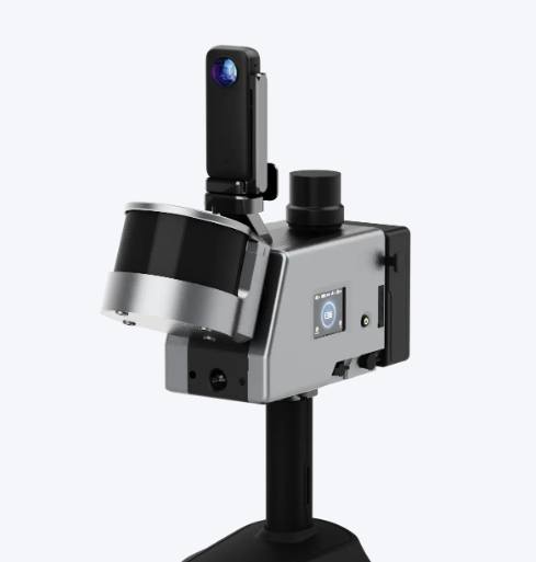
Geographic Surveying Instrument
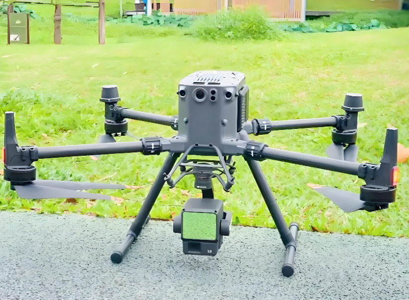
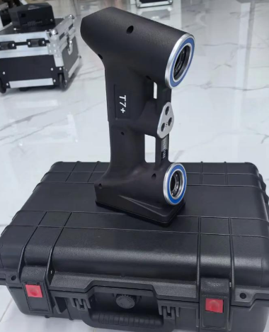
The Geographic Surveying Instrument Channel of 【 Global Business Communication】 gathers products in categories such as GNSS receivers, total stations, levels, 3D laser scanners, and geographic information system (GIS) equipment, connecting high-quality wholesale suppliers and manufacturers of geographic measurement instruments in China. We provide you with a one-stop high-precision measurement solution from single machine procurement to system integration.
You can directly connect with professional manufacturers who have passed ISO 9001 and metrological certification to obtain precision calibration certificates, technical specification manuals, industry application cases, highly competitive project quotations, system training, and technical support services. We establish a strict calibration traceability and performance verification system to ensure that each product meets the national surveying and mapping geographic information standards in terms of angle/distance measurement accuracy, positioning reliability, environmental adaptability, and data compatibility.
Publish your project requirements or showcase your professional solutions immediately, and work together with us to accurately perceive and define the spatial coordinates of every inch of our territory!
 ALL CATEGORIES
 Global B2B Deals, One Click Away
 Connect, Trade, Grow Globally
 Shaanxi Remote Measurement Co., Ltd

 China
China
 Main products:
Conventional surveying instruments, Electronic components, Architectural decoration instruments
Main products:
Conventional surveying instruments, Electronic components, Architectural decoration instruments


 Post RFQ


 ALL CATEGORIES